Angoka, which specializes in securing autonomous and remotely controlled vehicles as well as aircraft and the corridors they travel along from hacking and other interference, says the acquisition enhances and extends its reach in the sector.
Cambridge-based R4DARTech Ltd has created a geospatial awareness device, a credit card sized technology that enables drones to navigate and land safely without relying on communication networks or GPS location. A key challenge faced by drone operators, notably for Beyond Visual Line of Sight (BVLOS) operations.
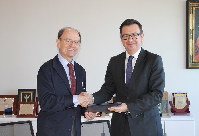
Angoka chairman Steve Berry says the fusion of its technologies, which allow drones and ground vehicles to move freely and safely within unmanned traffic management (UTM) controlled airspace or other defined corridors, will be greatly enhanced by the R4DAR Technologies products.
He said: “R4DAR Technologies, led by Clem Robertson, is making a vital contribution to the drive towards autonomous transportation. Both Clem and I are very excited by the prospect of taking forward new transport projects. We have both been collaborating in recent years on a variety of UK government-backed projects and this acquisition will accelerate our journey to safer, cleaner and more reliable transportation on the ground and in the air.”
The synergy between the two firms has proven to be invaluable as part of the wider progress in drone safety and navigation and vehicle safety on the one hand and the creation of safe, governed air corridors and road transport routes on the other.
Clem added: “Early unequivocal detection and identification of obstacles and hazards is the single biggest challenge for current and future intelligent transport systems.
“Being able to securely locate and identify potential dangers in complex environments will be fundamental to ensuring safety in the autonomous world, and we’re very thankful to organisations such as Zenzic and Innovate UK which are championing this important work. The combined low-cost and low maintenance solution has the capacity to provide the necessary geospatial awareness to enable autonomous air mobility systems to navigate safely and securely even in the most adverse environments.”


